google-site-verification: google1c6a56b8b78b1d8d.html Adena Hopewell Mound Builders in the Ohio Valley: earthworks
Showing posts with label earthworks. Show all posts

Tuesday, September 15, 2020

Travel Guide to the Newark, Ohio Adena Hopewell Burial Mounds and Earthworks

 Travel Guide to the Newark, Ohio Adena Hopewell Burial Mounds and Earthworks


The Ohio Historical Society would like you to believe that the only earthworks in Newark, Ohio are the famous Octagon and Henge, but there are numerous burial mounds within the city. There are two sites that I have not posted, and those are the Roberts Mound and the Yost Works that are a little south of I-70.

Tuesday, March 3, 2020

Burial Mounds In Charleston West Virginia Viewed in Google Maps 360 degrees

Nephilim Giant's Capital City of Present Charleston, West Virginia


  Charleston, West Virginia has the largest known concentration of Adena mounds and circular solar temples, called henges. This area extends for eight miles in the vicinity of present-day Charleston, West Virginia. In 1894, Cyrus Thomas reported 50 mounds in this area, ranging from 3’ to 35’ in height and from 35’ to 200’ in diameter. He also reported finding eight to ten circular henges and enclosures. Stone mounds dotted the bluffs above the flood plain.


From the Kanawha Spectator: “Within the large wooden vault, near the bottom layer of earth, lay the principle figure, a huge skeleton measuring seven and a half feet in length and nineteen inches between the shoulder sockets. This figure lay prone, the head pointing toward the east. Around this skeleton were four others. Dr. Hale, who watched some of Colonel Norris’ excavations, states that the irregular positions of these four skeletons indicated that they had been placed in a standing position, at each of the four corners; and that their irregular heaps suggested to some who saw them ‘the possibility that they may have been buried alive, to accompany their great chief to the happy hunting grounds and land of spirits.’”     
On each side of the Criel mound were two henges with gateways aligned to both the summer solstice sunset and the winter solstice sunrise. The sacred via that extended to the Kanawha River is also aligned to these two solar events.
A closer view reveals that the two henges were both 666 feet in circumference.  666 was symbolic of the Sun god in the ancient numerology codex of Gematria that was developed by the Amorites in 1950 B.C. The Amorites were one of the accounted giant tribes in the Bible.

Henges were scattered for miles along the Kanawha River in Charleston. Giant's Tombs in Charleston Bureau of Ethnology, 12th Annual Report 1890- 1891
Kanawha County
Mound 31 measured 318 feet in circumference, 25 feet high, and 40 feet across its flat top. (see Fig. 302) A 10-foot circular shaft was sunk from the top and trenches run in from the side. The top layer consisted of 2 feet of soil, immediately below which was 1 foot of mixed clay and ashes. Below this, to the bottom, the mound was composed of earth apparently largely mixed with ashes, placed in small deposits during a long period of time. Three feet below the top were two skeletons, one above the other, extended at full length, facing each other and in close contact. Above but near the heads were a pipe, celt, and some arrow or spearheads. Ten feet below these were two very large skeletons in a sitting position, facing each other, with their extended legs interlocking to the knees. Their hands outstretched and slightly elevated were placed in a sustaining position to a hemispherical, hollowed, course-grained sandstone burned until red and brittle. This was about 2 feet across the top, and the cavity or depression was filled with white ashes containing fragments of bones burned almost to coals. Over it was placed a somewhat wider slab of limestone 3 inches thick...
 
View Larger Map Mound 31, which contained two giant human skeletons can still be visited today in a city park. Bureau of Ethnology, 5th Annual Report 1883-84 

Burial Mounds In Charleston West Virginia Viewed in Google Maps 360 degrees


“Below the center of No. 7 (see plate), sunk into the original earth, was a vault about 8 feet long, 3 feet wide, and 3 feet deep. Lying extended on the back in the bottom of this, amid the rotten fragments of a bark coffin, was a decayed human skeleton, fully 7 feet long, with head west. No evidence of fire was to be seen, nor were any stone implements discovered, but lying in a circle just above the hips were fifty circular pieces of white perforated shell, each about 1 inch in diameter and an eighth of an inch thick.”

Bureau of Ethnology, 12th Annual Report 1890-1891
Kanawha County
No. 11 is now 35 by 40 feet at the base and 4 feet high. In the center 3 feet below the surface, was a vault 8 feet long and 3 feet wide. In the bottom of this, among the decayed fragments of bark wrappings, lay a skeleton fully seven feet long, extended at full length on the back, head west. Lying in a circle above the hips were fifty-two perforated shell disks about an inch in diameter and one-eighth of an inch thick.

Bureau of Ethnology, 12th Annual Report 1890-1891
Kanawha County
Mound 19, the one farthest to the east, is 60 feet in diameter and 5 feet high. It was found to contain a rude vault of angular stones, some of them as much as two men could lift. This had been built on the natural surface and was 8 feet long, 4 wide, and 3 high, but contained only the decaying fragments of a large skeleton and a few fragments of pottery.

Thursday, March 10, 2016

Adena Sun Temple at New Castle, Indiana - Winter Solstice Alignment

Adena Sun Temple at New Castle, Indiana - Winter Solstice Alignment


Sun Temple (Henge) located in Henry County, Indiana has a gateway aligned to the winter solstice sunrise.


This small isolated henge was constructed so that the gateway would align to the Winter Solstice sunrise.  This sun temple is located about 5 miles south of the larger Sun Temple complex, north of New Castle. A large hole is evident in the center of the enclosure that was the result of Ball State archaeologists.


Historic Henry County, 1820-1849, Vol. I, by Herbert L. Heller
Another Adena enclosure still remains in the city of New Castle. This is found at the west edge of Baker Park on S. Main St., immediately east of the Chrysler High School. Although its original use is problematical it is generally considered this type of enclosure was of ceremonial usage. It is an excellent example of the work of the Adena Culture although not as large as similar mounds found in the Mounds State Park in Anderson. New Castle and Henry County residents will do well to see that these works of the earliest residents are preserved for future generations.

Friday, February 26, 2016

Ancient Burial Mounds and Earthworks in Fort Wayne, (Allen County) Indiana

Ancient Burial Mounds and Earthworks in Fort Wayne, (Allen County) Indiana


Fort Wayne ( Allen County) is rich in prehistoric remains with burial mounds and earthworks dating as early as 200 B.C.  5 sites were photographed. A Sun Temple that is a smaller version of that found at Mounds State Park, dating to 200 B.C., an Earthen Fort dating to 800 A.D. and 3 burial mounds that could date as early as 500 B.C..

Photos from "The Nephilim Chronicles: A Travel Guide to the Ancient Ruins in the Ohio Valley." 85 burial mound and earthwork sites photographed in the state of Indiana.  Yes, many giant human Nephilim skeletons were found within the burial mounds. http://www.amazon.com/The-Nephilim-Ch...

Tuesday, December 29, 2015

The 8 Gods and Goddesses of the Dakota Sioux are Symbolized with the Ohio Hopewell Mound Builder's Earthworks


The 8 Deities of the Sioux Indians and the Ohio Hopewell Earthworks

Wankan Tanka - The Great Spirit that created everything. He governs all.


The number 8 is prevalent in the Ohio Hopewell earthworks. The octagon at Newark was constructed to venerate these gods.


The center column represents the Great Spirit, Wakan Tanka.  He symbolized here as the Tree of Life.  The 4 earthen columns on each side represent the 8 lesser deities.


Wi -  The most powerful Sun god
Shkan - The sky god
Maka - The Earth Mother
Inyan - Rock and immovable things

Hanwi - Goddess of the Moon - wife of Wi

Tate -  god of the winds
Wohpe - The falling star or meteor
Wakinyan - Thunderbird


Wi, The Sun God, was represented by circular earthworks or henges.


Maka, The Earth Mother was represented by the square. The largest circle may represent Shkan, the sky god


Stone walls on hilltop ceremonial works were dedicated to Inyan


Tate was the god of the 4 winds.


Wohpe - The falling star or meteor


Wakinyan - Thunderbird

Friday, April 3, 2015

Ancient Levee Discovered at the Portsmouth, Ohio Earthworks

Ancient Levee Discovered at the Portsmouth, Ohio Earthworks


The Yellow Line is where the ancient levee was diagrammed by the Ohio Power Company

Portsmouth Daily Times, October 2, 1939

Sixth St. Believed, Part of Levee by Mound Builders
   The Ohio Power Co.s new office building at Sixth and Washington streets will sit on top of a flood levee built years ago by the Mound Builders.
   Samples of the soil sent to Columbia University for testing puzzled the professors and another sample was requested.  The professors said that the sod appeared to be "doped" and was unlike sod usually found in that section of the country.
Soil Imported
   Further examination revealed the sod was brought here by the Mound builders and was used to build a levee along Sixth Street from the Scioto river bank east..  The levee apparently followed a line east from Sixth street to Galia and Waller streets and ran northeast to Offnere street hill.
   The lines in the soil indicated that more soil was added each year. In one place a leaf mold about two feet thick was found. It has not been determined of the required years to build the levee, or was soil added as the flood stage of the river increased.
Believed Mixed with Clay
   Historian believe that Mound Builders found a particular soil elsewhere that proved superior for their purposes than the clay found around here.  It is believed the imported soil was mixed with clay to build the levee.
Historian

Sunday, October 12, 2014

Rare Early Photographs of the Newark, Ohio Earthworks

Rare Photographs of the Newark, Ohio Earthworks

Two photographs of the Newark, Ohio earthworks prior to the ceremonial center being converted in to a golf course. The Newark Earthworks are believed to have been constructed around 100 B.C. The Newark Earthworks demonstrate the knowledge of mathematics and geometry that was demonstrated in the construction of this ancient work.


The two photos featured are the circle and octagon in left portions of this map.  the Neark works also included the large henge and a square earthwork.


This photo shows the sacred via that connected the octagon and the circular earthwork.  This via nows serves as golf tee.


This is the southwest portion of the circle that features a mound and on the back end what appears to have been the beginning of two parallel walls of a sacred via.  

Sunday, June 8, 2014

Winter Photographic Gallery of the Newark, Ohio Earthworks

Winter Photographic Gallery of the Newark, Ohio Earthworks

Newark, Ohio earthworks in the winter. Pics from "The Nephilim Chronicles: A Travel Guide to the Ancient Ruins in the Ohio Valley."

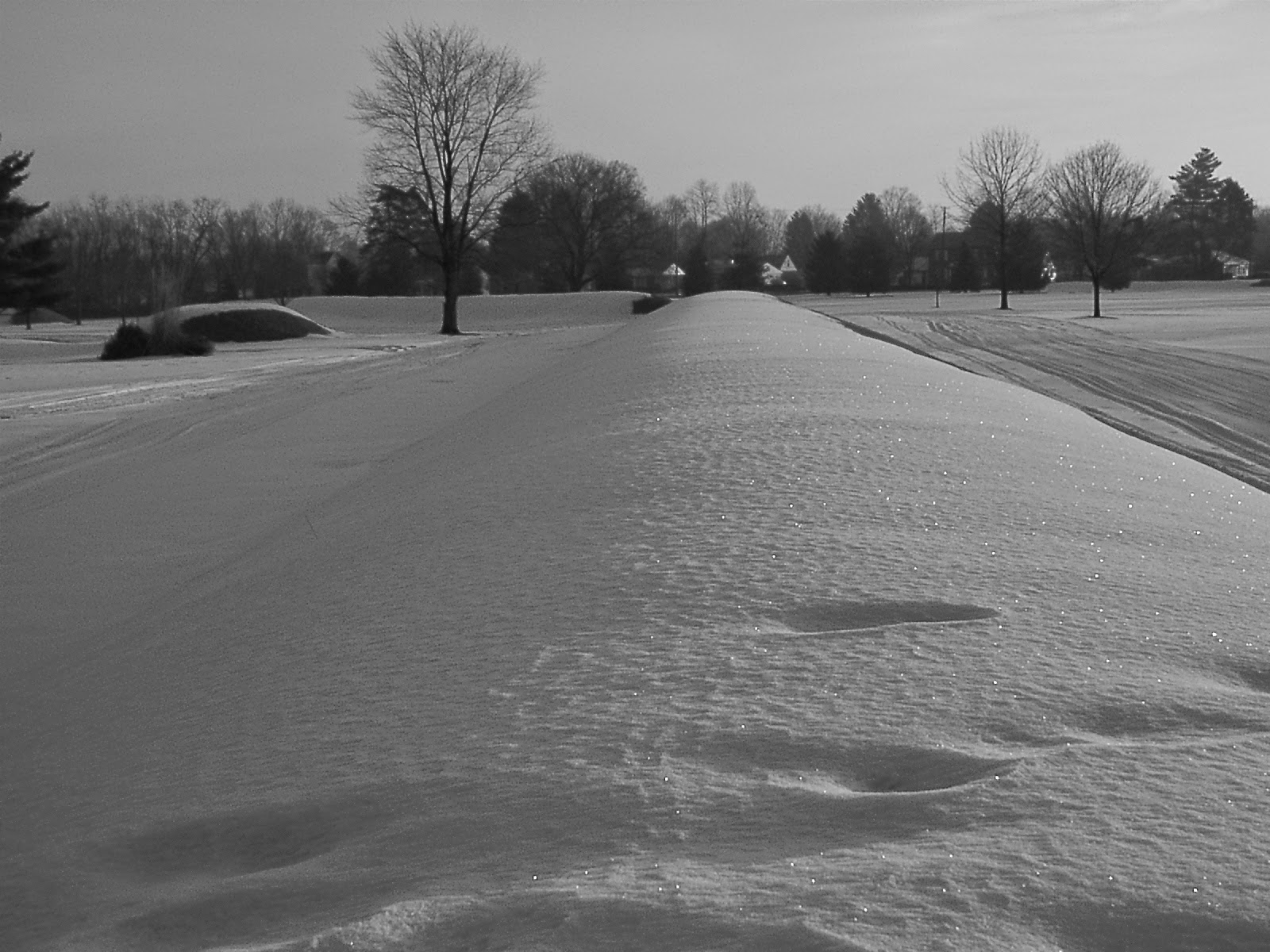
The best time to visit the Newark earthworks is the winter months when you can freely walk the grounds. 

Photo is taken from the gateway of the henge. In the summer months the ditch is overgrown and not visible.

This photo is looking in the opposite direction from the gateway of the henge that is aligned to the May 1st sunrise. On October 31st the sun will align with the gateway when the sun sets.

From the gateway the bird effigy is visible in the background.  The bird represented 'transition' this could have been for the people buried within the effigy or the transition from spring to summer and fall to winter.

This earthwork or sacred via goes from the henge to the square earthwork. See map above.

One of the 8 walls of the Octagon with one of the mounds guarding the gateway to the left.

From the walls of the Octagon, a smaller circle with a serpentine gateway is still well preserved. The circle was at the opening of the Hopewell Road that ran from this spot to Chillicothe, Ohio, 60 miles distant.

Two parallel earthworks connect the Octagon with the circular earthwork.

Circular earthwork attached to the Octagon.


Thursday, May 22, 2014

Mound City Earthwork and Burial Complex in Chillicothe, Ohio

 Mound City Earthwork and Burial Complex in Chillicothe, Ohio


Map of the Mound City, Mound and Earthwork Complex


Early photo shows how large the earthen wall of the enclosure was originally


Photo of the burial mounds inside the enclosure before being excavated by the Ohio Historical Society.


Excavation of one of the mounds revealed  a skeleton that rested on a bed of mica tablets.
Another one of the burial mounds at Mound City being hacked into by the Ohio Historical Society


Severla Pipes that were removed from the burial mounds. Many of the artifacts from Mound City were sold to museums in England.


Mound City was only partially restored by the Ohio Historical Society. The earthen wall that surrounded the burial mounds is only a slight burm of earth. None of the burial mounds were restored to their orignal height and size.

Friday, February 14, 2014

Archaeological Atlas of the Mounds Earthworks and Petroglyphs of Belmont County, Ohio

Archaeological Atlas of the Mounds Earthworks and Petroglyphs of Belmont County, Ohio


Archaeological map of Belmont County, Ohio showing the location of burial mounds and earthworks along with the Barnsville petroglyphs.


BELMONT COUNTY. 

Belmont county is important archeological as fine examples of the so-called
petroglyphs, or Indian Rocks pictures. Petroglyphs are found in several counties of the state, Manley those bordering the Ohio river, where they generally appear cut into the comparatively smooth surfaces of the exposed sandstone of the coal
measures bordering the river. A number of these rock pictures, however, are 
located independently of streams, as in Belmont and Jackson counties. 


The Barnesville Track Rocks, as the Belmont county petroglyphs have been styled, are situated within the city of Barnesville, in Warren township. They are cut or pecked into the coarse sandstone grit, the tools used in most cases having been
of stone. The Barnesville petroglyphs consist mostly of the outlines of the humanfootprint, of the footprints of various birds and animals, of the human face, of serpents, etc. 
Along the river in the eastern Belmont county are located numerous mounds, 
burials and village sites, while in the western portion of the county are other 
mounds, village sites and earthworks. 

Thursday, February 13, 2014

Ashland County, Ohio Burial Mounds And Earthworks

Ashland County, Ohio Burial Mounds And Earthworks

Archaeological Map of the Burial Mounds and Earthworks in Ashland County, Ohio

ASHLAND COUNTY. 

Ashland county is remarkable among the northern counties 
of the state for the comparatively large number of earthen en- 
closures it contains. Most of these enlosures are quite small, and 
are both the circular and elliptical, and the rectangular type. 
Green township in particular is rich in these enclosures, while 
Mohican township also contains a number.


 The abundance of earthworks in southern Ashland County 
possibly may be due in part to the fact that the Great Trail passed 
through this section, crossing the headwaters of the Mohican river 
and the numerous streams tributary thereto. Numerous burials, 
old village sites, etc., together with the many stone implements 
found show that southern Ashland county was a scene of consider- 
able activity in aboriginal times. 

Wednesday, January 22, 2014

Scioto County, Ohio Archaeological Atlas

Scioto County, Ohio Archaeological Atlas
Mounds and earthwork locations in Scioto County, Ohio


Monday, November 25, 2013

Description of Iroquois Indian Forts and Earthworks

Description of Iroquois Indian Forts and Earthworks


       Squier,whose extensive researches among aboriginal remains in Central America and elsewhere, fitted him for the task of careful inquiry, visited this county and other portions of the State a score of years ago. His object was to determine if these enclosures had a common origin with the vast system of earth- works of the Mississippi valley, whose construction in a remote age. is assigned to the mysterious Mound-Builders. But they proved to be wanting in the regularity of outline of those unique western structures. The builders, he says, instead of planning them upon geometrical principles, like those of the west, regulated their forms entirely by the nature of the ground upon which they were built. The pottery and other relics found scattered among their ruins are " absolutely identical with those which mark the sites of towns and forts known to have been occupied by the Indians within the historical period ;' ' and, instead of placing their construction back in the ages of the misty past, it may be referred to the period succeeding the discovery of America or not long anterior to that event. The Senecas, quite likely, on being driven from (Genundewah, took the precaution to provide their new habitations with defenses against unfriendly tribes of the west and north ; for they were then in their weakest condition, and had most need of such security as their simple art of defense might afford. Earth walls would, without doubt, be first suggested as the means of local protection against assaults by hostile neighbors. These earth-works generally ' ' occupy high and commanding sites near the bluff edges of those broad terraces by which the country rises from the level of the lakes. When met with upon lower grounds, it is usually upon some dry knoll or little hill, or where banks of streams serve to lend strength to the position. A few have been found upon slight elevations in the midst of swamps, where dense forests and almost impassable marshes protected them from discovery and attack. In nearly all cases they are placed in close proximity to some unfailing supply of water, near copious springs or running streams. Gateways opening toward these are always to be observed, and in some cases guarded passages are visible."* In preparing to construct these defenses (Cusick says) "they set fire against several trees required to make a fort ; the stone axes were then used to rub off the coals so as to burn quicker. When the tree burned down they put fire to it in places about three paces apart and burnt it off in half a day. The logs were then collected at a place where they set them up around according to the bigness of the fort, and the earth heaped on both sides. ' ' Embankments were dispensed with after the introduction of the spade and other European implements enabled the Indians to plant their pickets more firmly in the ground. Traces of long occupancy are found in all these works. Relics of art, such as clay pipes, metal ornaments, earthen jars of clay tempered with pounded quartz and glass, or with fine sand, and covered with rude ornaments, stone hammers, and even parched corn which, by lapse of time had become carbonized, were discovered by Squier and others in caches or " wells." The latter, designed for the deposit of corn and other stores, "have been found six or eight feet in depth, usually located on the most elevated spot within the inclosure." Fragments of bones, charcoal and ashes and other evidences of occupancy, are always to be met with. Many of these works, traced by the pioneers, were covered with heavy forests, and, in several instances, trees from one to three feet in thickness were observed by Squier growing upon the embankments, and in the trenches. This would carry back the date of their construction several hundred years. The inclosures, though usually varying from one to four acres in area, ruins of much greater extent have been found. The larger ones were designed for permanent occupancy, the smaller, for temporary protection — "the citadels in which the builders sought safety for their old men, women and children in case of alarm or attack," or when the braves were absent on the war-path. The embankments were seldom more than four feet in height. The spot selected was generally convenient to fishing-places and hunting- grounds, and contiguous to fertile bottoms. Indeed, all indications render it probable that the occupants were fixed and agricultural in their habits